


Resources

Case Studies
Learn how other teams have found success with InfraMappa

Events
Catch InfraMappa at upcoming conferences, sessions, and more

Blog
Get practical tips and helpful takeaways to improve your facility strategy

ROI Calculator
Quickly estimate your potential savings with InfraMappa

Webinars
Learn from experts as they share strategies for smarter facility ops
Featured Insight
Nunc volutpat pharetra consectetur libero duis vitae lectus duis netus purus adipiscing massa.


Team
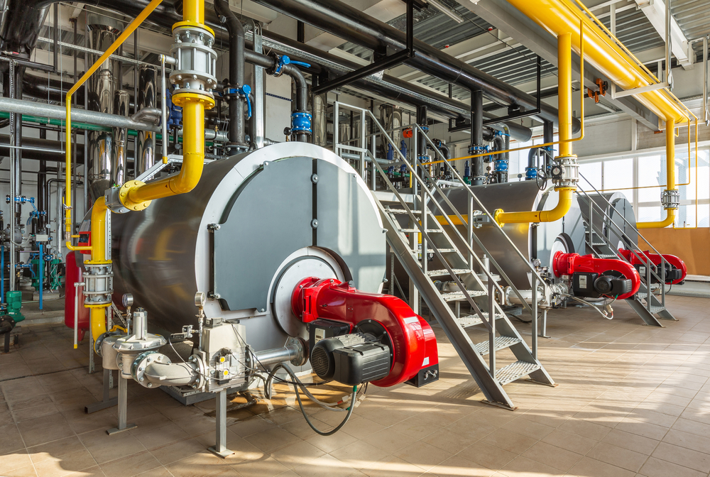
Construction & Engineering
Know what’s underground before you break ground. Track project progress, manage as-builts, and keep crews safe with complete infrastructure visibility.


Statistics
Proven Performance. Real Results.
800+
Sites Live
Trusted by schools, hospitals, municipalities, and other facilities where downtime isn’t an option.
850K+
Assets Mapped
From underground utilities to rooftop equipment, every shutoff, air handler, and panel is documented and searchable.
90%+
Renewal Rate
Teams that modernize with InfraMappa never settle for scattered maps or disconnected digital files again.
Use Cases
How InfraMappa Supports Construction & Engineering
Plan Building Positioning and Site Layout
Know exactly what’s underground before selecting building orientation or breaking ground. Avoid cutting into underground systems by understanding what utilities, gas lines, and electrical runs beneath your proposed construction area. Skip the expensive ground penetrating radar when you have complete subsurface documentation.
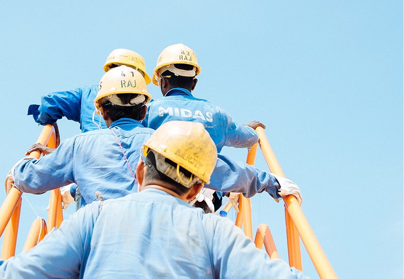
Ensure Crew Safety Around Underground Utilities
Identify high voltage lines, gas mains, and other critical utilities before excavation begins. Your crews know exactly where dangerous systems are located, preventing potentially deadly accidents and costly service interruptions.
Monitor Physical Construction Changes
Replace fragmented paper-based progress reporting with visual change detection. See exactly how many linear feet of trench were completed, what structures have been built, or what percentage of excavation is done. Document actual site conditions automatically instead of relying on manual surveys.
Manage As-Built Documentation Centrally
Upload and access as-built drawings from any device, anywhere on the job site. Teams can reference current plans, verify installations against engineering designs, and ensure work adheres to specifications without hunting through fragmented documentation.
Visualize Planned Structures with AR/VR
See planned buildings in their intended location relative to existing infrastructure in 2D or immersive 3D. Walk through structures before they’re built to identify potential conflicts and coordinate installations with existing systems. Continue monitoring during construction, and see the finished product after completion.
Know Asset Status in Real-Time
Instantly identify whether discovered infrastructure is operational or abandoned. When crews encounter unexpected pipes or conduits, they know immediately if it’s safe to work around or cut through, eliminating delays and reducing project risk.

Capabilities
Core Capabilities for Construction & Engineering
Underground Utility Mapping
Complete subsurface documentation to prevent costly utility strikes
Visual Change Detection
Monitor actual construction progress with automated site condition tracking
As-Built Document Management
Centralized access to current drawings and engineering plans
AR/VR Structure Visualization
2D and 3D visualization of planned buildings and infrastructure
Asset Status Identification
Real-time status of all infrastructure (operational vs abandoned)
Site Planning Tools
Optimize building positioning based on existing underground systems
Safety Zone Mapping
Identify high-risk areas around utilities and electrical systems
Design Adherence Verification
Compare actual installations against engineering specifications
Mobile Field Access
Access all documentation and maps from any device on-site
Industries
Built for a Wide Range of Facilities

Education
From aging infrastructure to new builds and budgets, manage your campus like never before.
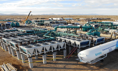
Commercial & Industrial
Track assets, cut downtime, and manage multi-site operations with real-time data.

Healthcare
Manage critical systems, upgrades, and maintenance without disrupting patient care.
Cities, Agencies & Public Services
Enable smart city management with live maps of utilities, assets, and projects.
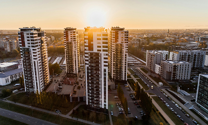
Residential
Manage utilities, maintenance, and upgrades across multi-building residential communities.

Recreation & Special Use Facilities
From bustling stadiums to sprawling cemeteries, manage vast, complex venues with precision.
FAQs
Frequently Asked Questions
How does InfraMappa prevent underground utility strikes during construction?
We map every gas line, electrical conduit, and water main beneath your site so your crews know exactly what they’re digging around. No more guessing games or expensive utility strikes that shut down projects.
Can you monitor physical construction changes without manual surveys?
Yes. Set up automated change detection to track how much trench you’ve dug, what’s been built, or how much area you’ve excavated. You get actual measurements without sending someone out with a measuring tape.
How do you handle as-built documentation during active construction?
Everything uploads to the cloud, so your whole team can pull up current drawings on their phones or tablets right from the job site. No more hunting through filing cabinets or waiting for someone to email you the latest version.
Can you visualize planned buildings before construction begins?
Absolutely. Drop your design files into the platform and you can walk through the building in 3D before you pour the foundation. Great for spotting conflicts with existing utilities or showing stakeholders what’s coming.
How do crews know if discovered infrastructure is safe to work around?
Every pipe, conduit, and system shows whether it’s live or abandoned. Find an unexpected gas line? You’ll know immediately if it’s still in service or safe to work around. No more work stoppages waiting for answers.