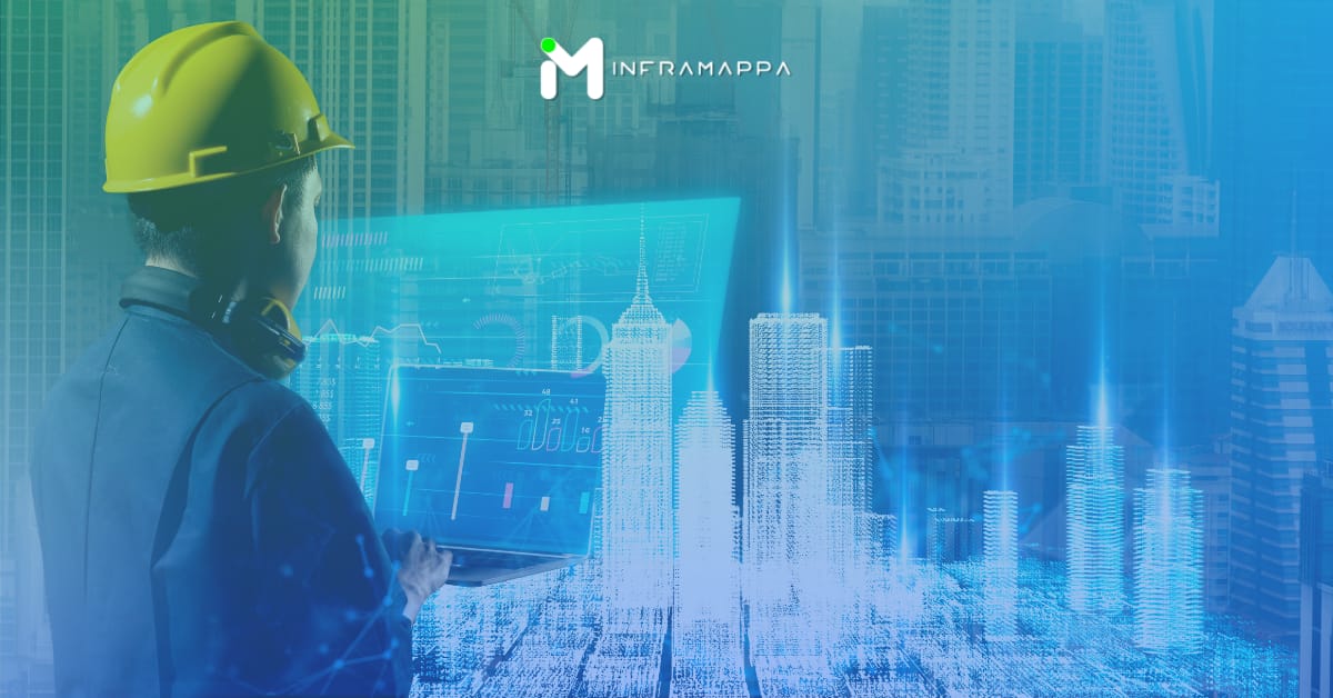
Geographic Information Systems (GIS) have long been recognized as powerful tools in infrastructure management. However, their complexity and the specialized expertise required have often kept their benefits out of reach for many organizations. Before exploring how GIS is transforming infrastructure management, let’s briefly consider who traditionally uses GIS and why it has required specialized skills.
The safety of students and staff is paramount for any school administration. Traditional safety measures are essential, but geospatial data offers a powerful tool to significantly improve a school’s preparedness. By leveraging information about the physical space of your school and its surroundings, you can improve emergency response, optimize security, and streamline evacuation procedures.

This episode of Mapping Masters we discuss geospatial technology with Dr. Nadine Alameh, Executive Director of the Taylor Geospatial Institute. Dr. Alameh sheds light on the importance of geospatial data and the institute’s mission to fuel a “geospatial revolution.” A Leader in Geospatial Innovation The discussion opens with Dr. Alameh’s impressive background. A graduate
Geospatial data is emerging as a game-changer for emergency response teams. By leveraging the power of maps and location intelligence, first responders can save lives and minimize damage. InfraMappa can be a powerful tool to address each of these points and create a more efficient, life-saving system. Faster Response Times: Accurate Building Data: InfraMappa

In the United States power outages cost an estimated $150 billion annually. These disruptions have a ripple effect, impacting not only our daily lives but also businesses, critical infrastructure, and even public safety. However, a potential solution exists to mitigate these disruptive and expensive occurrences. Municipal mapping presents itself as a powerful instrument capable of

In an ideal situation, during a fire alarm, a teacher would be able to calmly and efficiently guide students to safety using a clear and up-to-date floor plan. However, for many K-12 schools managing aging infrastructure, this may not be the case. Outdated floor plans can hinder a swift response, highlighting the importance of efficient

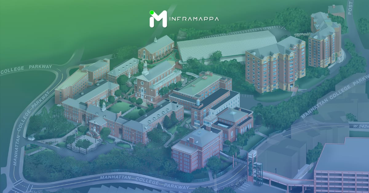
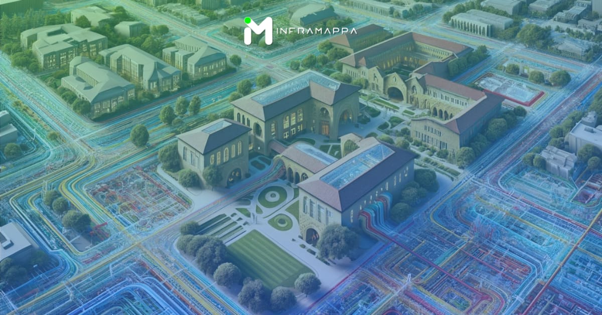
Universities are often thought of as sprawling campuses with iconic buildings and bustling libraries. But what if these physical spaces, along with the digital resources that support them, could be viewed not just as a backdrop, but as a powerful tool for student success? Let’s reframe the conversation around university infrastructure, shifting the focus from

Exciting news for the mapping and geospatial community! After the one-year anniversary of joining Overture Maps (where Inframappa was one of the earliest organizations to join), Inframappa is thrilled to announce our partnership with the Overture Maps Foundation. This collaboration marks a significant step forward in creating a comprehensive, open-source map dataset that benefits everyone.

Infrastructure projects are the backbone of modern society. From transportation networks to energy grids, these endeavors keep our communities running smoothly. However, with the initial excitement of planning a new bridge, road, or utility system, it’s easy to overlook some crucial hidden costs. These can significantly derail your budget and throw your project timeline into

Industrial facilities, by their very nature, handle a variety of potentially hazardous materials and processes. This inherent risk necessitates robust fire safety protocols. Traditional fire safety measures, while crucial, can be limited in their ability to predict and prevent fires. However, advancements in real-time mapping technology are revolutionizing industrial fire safety by offering a proactive
Header