


Resources

Case Studies
Learn how other teams have found success with InfraMappa

Events
Catch InfraMappa at upcoming conferences, sessions, and more

Blog
Get practical tips and helpful takeaways to improve your facility strategy

ROI Calculator
Quickly estimate your potential savings with InfraMappa

Webinars
Learn from experts as they share strategies for smarter facility ops
Featured Insight
Nunc volutpat pharetra consectetur libero duis vitae lectus duis netus purus adipiscing massa.


Team
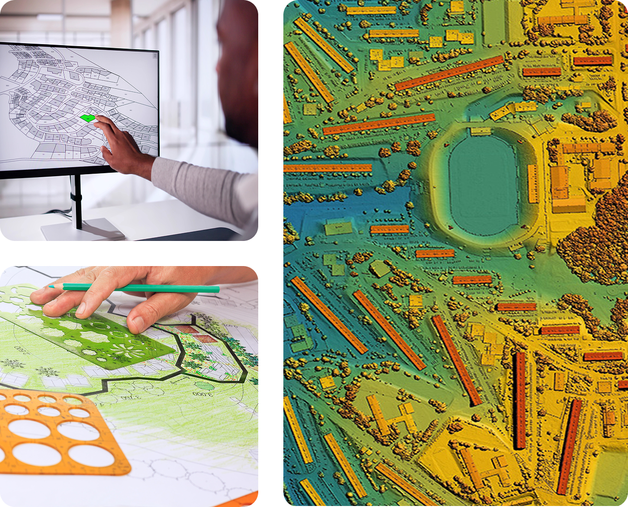
GIS & Mapping
If GIS is already part of your tech stack, InfraMappa instantly turns your GIS data into something your entire organization can use. Add the application layer that makes geographic data accessible, actionable, and valuable across your organization.


Statistics
Proven Performance. Real Results.
800+
Sites Live
Trusted by schools, hospitals, municipalities, and other facilities where downtime isn’t an option.
850K+
Assets Mapped
From underground utilities to rooftop equipment, every shutoff, air handler, and panel is documented and searchable.
90%+
Renewal Rate
Teams that modernize with InfraMappa never settle for scattered maps or disconnected digital files again.
Use Cases
How InfraMappa Amplifies Your GIS Investment
Bridge the Gap Between GIS Data and Daily Operations
Your GIS team maintains accurate geographic data, but most staff can’t access, use, or contribute to it. InfraMappa creates the application layer that makes your GIS investment valuable to maintenance crews, facility managers, emergency responders, and your community, empowering your GIS team.
Connect Assets to Source Documentation
Link as-built drawings, inspection reports, and maintenance records directly to geographic features in your GIS. That pipe your team mapped now connects to its installation drawings, pressure test results, and maintenance history. Transform lines and points into actionable asset intelligence.
Enable Organization-Wide GIS Access
Stop carrying the load for GIS data requests. Give your teams direct, controlled access to geographic information through intuitive interfaces they can easily access and navigate. Your GIS data becomes self-service and role-based instead of requiring constant support requests.
Add AR/VR Visualization to Geographic Data
Visualize underground utilities, planned construction, and facility layouts in immersive 3D. Your accurate GIS coordinates become the foundation for AR field applications that show crews exactly where assets are located in real space.
Integrate IoT with Geographic Context
Overlay real-time sensor data on your GIS foundation. Temperature readings, pressure monitors, and flow sensors gain geographic context, making it easier to identify patterns and diagnose issues across your facility network.
Streamline As-Built Integration Workflows
When contractors deliver new as-built documentation, InfraMappa helps you verify, merge, and distribute updates efficiently. Reduce the manual work of analyzing how new assets affect existing GIS layers.

Capabilities
Core Capabilities for GIS & Mapping Teams
GIS Application Layer
Transform raw geographic data into accessible, functional applications
Source Document Integration
Link drawings, reports, and documentation to geographic features
Self-Service Data Access
Enable organization-wide GIS data access without constant support
AR/VR Geographic Visualization
3D immersive views of underground and planned assets
IoT Data Overlay
Real-time sensor integration with geographic context
As-Built Workflow Management
Streamlined processes for incorporating new asset data
Multi-Platform Data Distribution
Serve GIS data through web, mobile, and field applications
Custom Query and Filtering
Advanced search capabilities beyond basic GIS functionality
Automated Report Generation
Generate facility reports using geographic data and connected documentation
Industries
Built for a Wide Range of Facilities

Education
From aging infrastructure to new builds and budgets, manage your campus like never before.

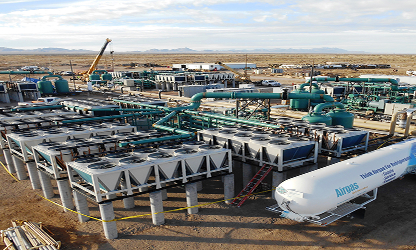
Commercial & Industrial
Track assets, cut downtime, and manage multi-site operations with real-time data.

Healthcare
Manage critical systems, upgrades, and maintenance without disrupting patient care.
Cities, Agencies & Public Services
Enable smart city management with live maps of utilities, assets, and projects.
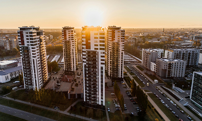
Residential
Manage utilities, maintenance, and upgrades across multi-building residential communities.

Recreation & Special Use Facilities
From bustling stadiums to sprawling cemeteries, manage vast, complex venues with precision.

FAQs
Frequently Asked Questions
How does InfraMappa work with existing GIS systems like ArcGIS?
InfraMappa builds on top of your existing GIS foundation. Your team continues managing geographic data accuracy while InfraMappa adds the application layer that makes that data accessible and actionable for your entire organization.
Can non-GIS staff access geographic data without training?
Yes. InfraMappa creates intuitive interfaces that let maintenance crews, facility managers, and emergency responders use your GIS data without needing ArcGIS training or constant support from your GIS team.
How does InfraMappa handle as-built integration and layer management?
InfraMappa streamlines the workflow of analyzing new asset documentation, merging it with existing data, and distributing updates. Your GIS team maintains control while reducing manual verification work.
What happens to our GIS team's role when InfraMappa is implemented?
Your GIS team becomes more strategic. Instead of fielding constant data requests and basic queries, they focus on data accuracy, complex analysis, and expanding geographic capabilities across your organization.
Can InfraMappa add functionality that doesn't exist in our current GIS setup?
Absolutely. If you lack features like AR/VR visualization, IoT integration, document linking, and advanced workflows, these can layer on top of your existing GIS foundation without requiring expensive custom development.